The Sakha Sea, or the Sea of
Thawed Perma(?)frost
May, 2380
69°26'19.2"N 124°50'44.9"E
We are standing in silence, straining our eyes to focus.
None of us believes what we are observing. The Sea.
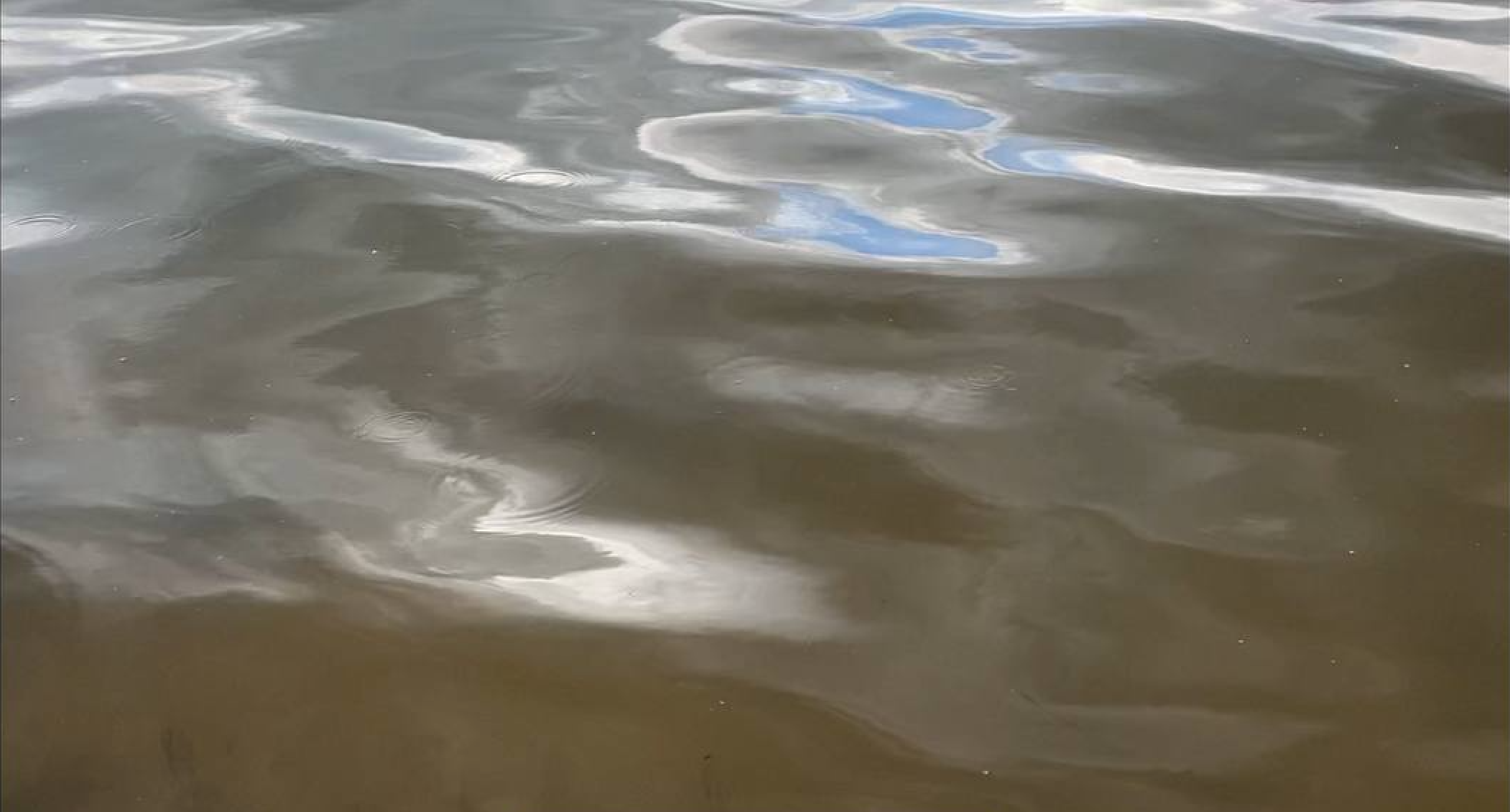
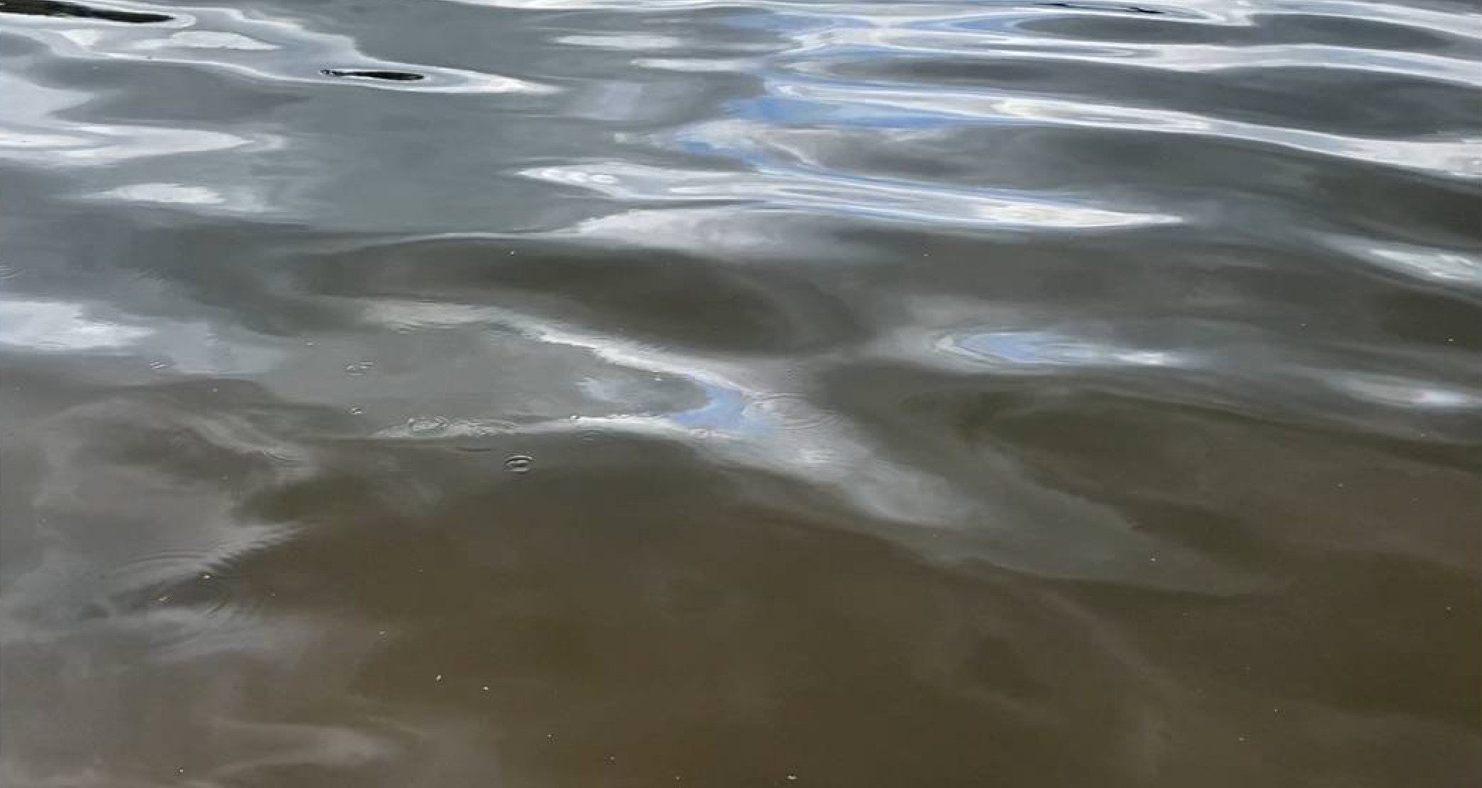
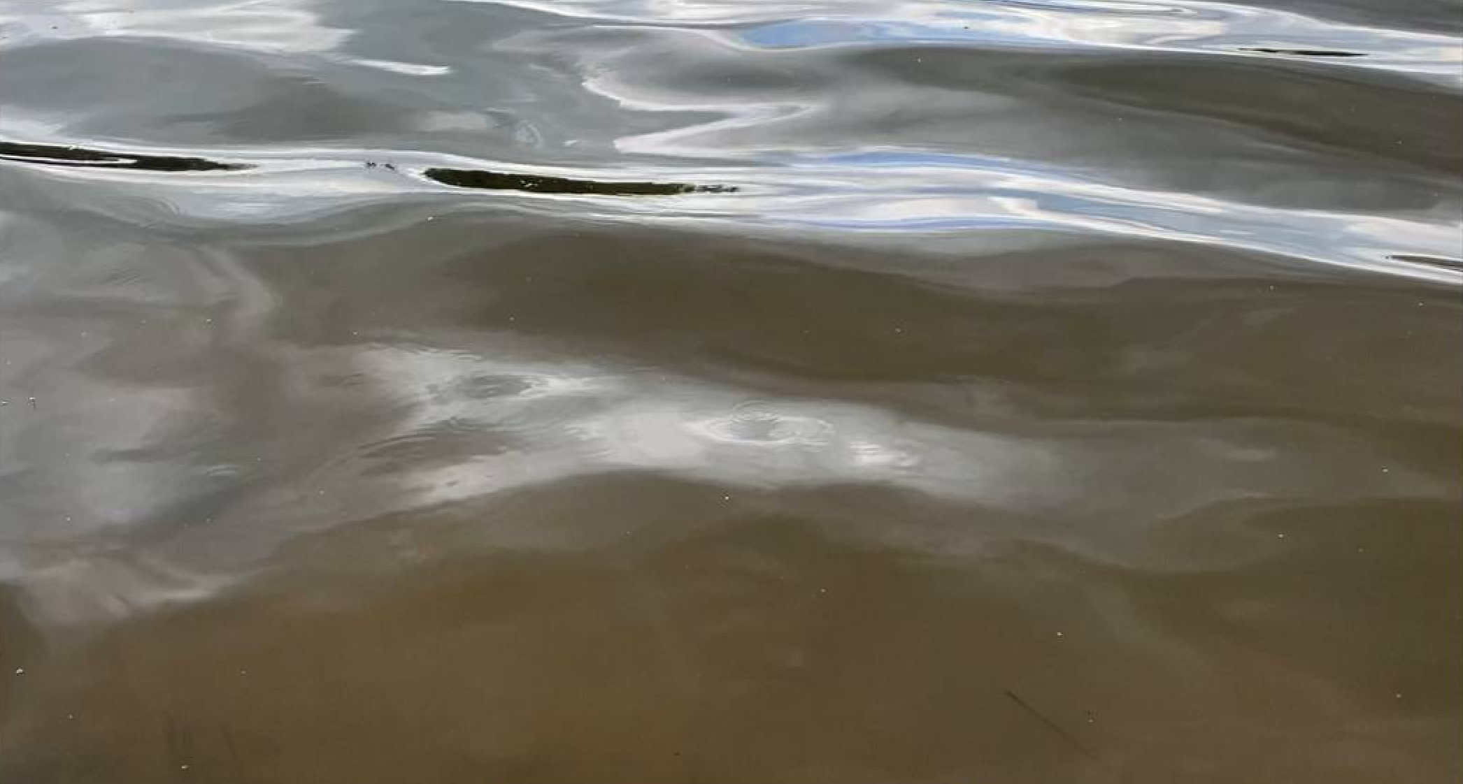
Water is everywhere. In front of us, to our left and right. The horizon is saturated with liquid substance of dark grey, green and brown colours. Small waves fold over, break and return to the Sea, rumbling softly. The Sea looks calm and peaceful, almost welcoming. But everyone, including myself, feels astonished and disoriented. As if we have not spent the whole year preparing for this encounter.
None of us believes we are observing the Sea.
We are standing on a low hill. Beneath us, we can see a narrow shoreline which marks the boundary between land and water. Mud is everywhere: on our boots, raincoats, and helmets. We struggle to keep the balance. The ground seems to slip out from under our feet. Crawling feels more natural than standing. The weather is windy, and beautiful wrinkles cover the Sea, telling us where the wind blows. The weather is cloudy, too, and surfaces produce flickering light that dazzles our eyes. The air is thick, moist and stale.
We are observing the Sea.
It took us a while to get to this place. We crossed the ocean on what used to be an ice-breaking ship – a watercraft that made navigation through ice possible. Today we no longer need to break the sea ice. People repurpose icebreakers as water transport for long distances because of their durability. We caught only two storms on our way, but the trip was stressful. The team was unsure about our destination point, and the captain was worried we could run aground. Our ship was the first one to travel to the abandoned area of
the Sakha Sea.
We assume that we entered the Sakha Sea through the gates of the Tiksi seaport. The port was built in 1934 and went underwater a century or two ago. The Sakha Sea covers the territory of perennially frozen earth, or permafrost. People used to inhabit and cultivate these lands until they were completely exhausted, and people were forced to leave. The frozen ground thawed and transformed into flows of water, soil and rocks. Wetlands were expanding and seizing the land. That was how the Sakha Sea, or the Sea of Thawed Perma(?)frost, came to be. At least, that is our assumption.
Yesterday I received an email confirming my participation in the Sakha Sea programme – a year-long trip to the Sea with a team of multidisciplinary scientists. This email came to me as a surprise. I did not expect my proposal to be successful. The programme aims to collect evidence showing that the Sea of Thawed Perma(?)frost is the largest abandoned terraformed body on the planet. The researchers hope that this evidence will convince major water suppliers to give up the transformation of the Atlantic Ocean into a wave power plant.
What defines such a body of water?
The Sakha Sea is imagined to be a system of interconnected water bodies, predominantly freshwater lakes of different shapes, that covers an area of one and a half billion km2. The Sea was formed by the growing anthropogenic load that made the frozen ground thaw more rapidly and at greater depth. The Sea connects with other water bodies through rivers, but there are no observations of how it affects their weather. One hypothesis claims that the Sakha Sea is sustained by the Ölüöne River, which runs submerged somewhere in the middle of the Sea.
Is this body of water artificial?
As a literary archaeologist, I am interested in evidence of a different kind. The Sakha Sea absorbed the Ölüöne River. Its waters dissolved into a larger body of water. When and how did it happen? I have read various materials assessing the river’s course, flow, speed and other qualities. The Ölüöne River was one of the largest rivers in the Northern Hemisphere. It stretched for more than five thousand kilometres and was home to various species, including humans. It was connected with the Arctic Ocean via the Laptev Sea, where the river flowed.
What kind of water flows in such a body?
We know that many rivers have disappeared already. But none of them gestated a new body of water, like Ölüöne. How can we talk about these things? What language should we use to describe that a river disappeared? And what should we make out of these descriptions? I look forward to joining the Sakha Sea programme. I know that the ship will try to follow the path of the Ölüöne, which is my opportunity to explore the river. It is the only route in the Sea that we know.
April, 2379
September marks the sixth month of the Sakha Sea programme. We have covered a distance of more than five thousand kilometres because we travel back and forth. We need to return to a place near the Tiksi seaport to replenish our supplies, send research updates to the programmes’ director, and inspect our watercraft for any minor damage. We have to do this job at the end of each month. If we fail to send a message on time, people from the research office will start a rescue operation, which will be twice as costly as our trip.
Time flows, as well as money.
Today our captain said that we might have entered the territory of Djokuuskay. It was one of the few towns built on the perennially frozen earth. Djokuuskay was founded as a military fort in 1632 during the Muscovite expansion in Eastern Siberia. People discovered permafrost during unsuccessful attempts to establish a source of potable water within the town walls. Since then, the military has taken over the exploration of this phenomenon. Its definition has been drifting from a spatial condition to a physical-geographical structure that remains at or below 0°C for at least two consecutive years. Today people of science challenge both of these concepts by suggesting that the perennially frozen earth should be approached as a body of water.
A body of water to be filled with capital for further exploitation.
During the meal, people talk about sea. No matter how we start the discussion, it is always about appearing and disappearing seas. During the last three centuries, the Aral Sea, the Sea of Azov, and the Dead Sea have disappeared. Their inflow rivers were industrialised and exhausted. They became no longer capable of feeding the seas. The Sakha Sea challenged this tendency. It was the first body of water that emerged due to anthropogenic emissions. It gave technocrats the floor to argue that climate change brings positive changes, such as this one.
Will there ever be a way to free from the power of the money flow?
So far, we have observed that the system of the Sakha Sea is more complicated than we assumed. It comprises bodies of water of differing origins. Besides lakes, it includes tundra polygons, volcanic-like-craters filled with water, and marshes. The Ölüöne River appears to be running underwater. It did not dissolve in the Sea. It stays contained as if the bank lines secure its flow. These are preliminary observations limited by the capacities of our watercraft. Many places remain beyond our reach.
September, 2380
62°02'54.7"N 129°51'23.2"E